
Simple. Affordable. Powerful GIS.

Developed and Supported Locally

Insightful Maps, Informed Decisions

Cloud-Based & Connected
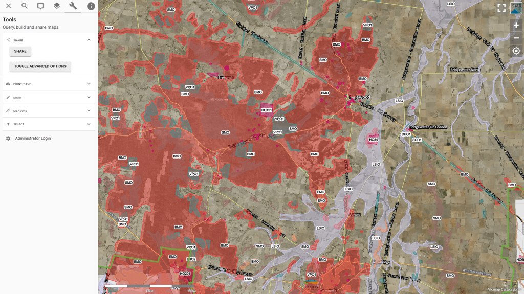
Pozi empowers public data through a cloud-based platform, with easy admin and seamless integration into enterprise systems.

Design in QGIS & Publish in Pozi
Powered by QGIS, Pozi is an easily adoptable solution that makes managing & publishing spatial data simple & efficient.

Australian-Based Support
Reliable, local support from people who understand your operations & service delivery needs, right here in Australia.





Pozi seamlessly links with enterprise systems to combine spatial and operational data in one place, giving your team a single view for faster, better decisions.
Pozi makes data accessible through public and internal modules, with easy download and export options so users can manage and share information effectively.
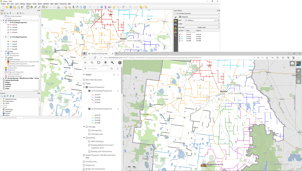
Manage and configure your layers in dedicated QGIS projects.
The changes you make in the projects are immediately available for Pozi users across your organisation.
Get in touch for a personalised walkthrough and see how Pozi can transform the way your organisation uses spatial data.

Insightful Maps, Informed Decisions